| List | Previous | Next |
MEXICO RV CARAVAN
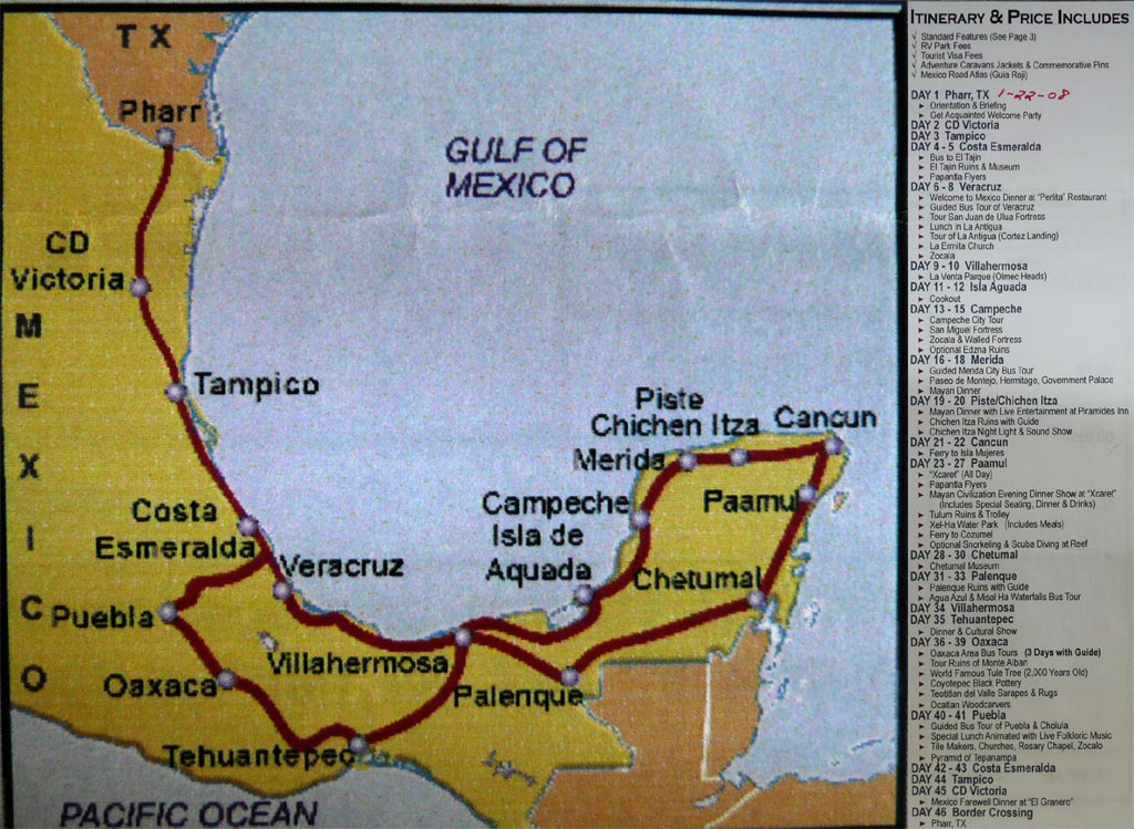
We are joining 20 other RVs that will travel from Pharr, TX to the Yucatan and return. The journey will take 46 days and cover about 3000 miles. We will travel the route shown below.
COSTA ESMERALDA
We crossed into Mexico on January 23 and began three days of driving before we get to our first sight seeing stop in Costa Esmeralda where we will see the ruins at El Tajin.
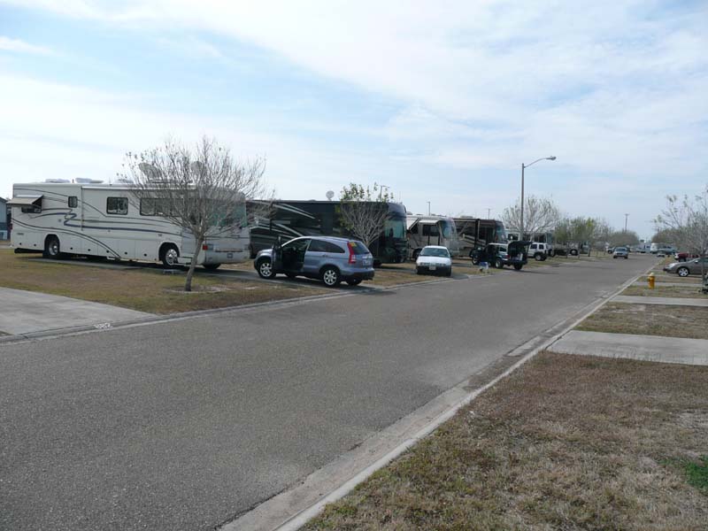
We all met at the Texas Trails RV Park in Pharr, TX. While we were there all the papers and holograms for the vehicles were acquired and installed. We were briefed for the trip by our Wagon Masters, Pat and Alice and our Tail Gunners, Hex and Sandy. On the morning of the 23rd we all hooked up and headed for the border.
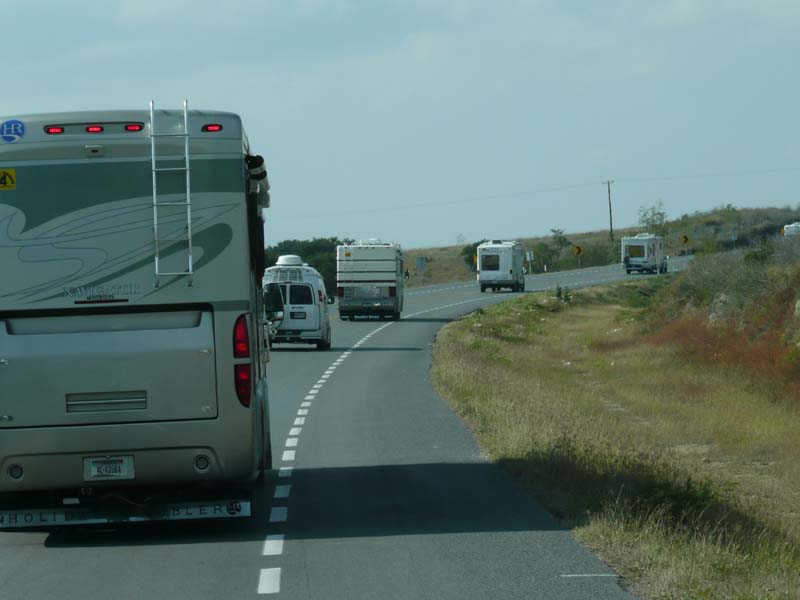
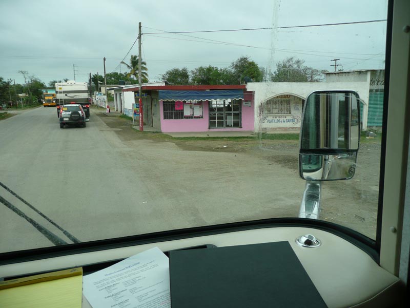
The border crossing was uneventful and we all settled down into the chore of driving to our nights stop in CD Victoria.
All the folks on this caravan seem to be really nice and fun loving. We all are seasoned travelers and RVers that like to go to new places and meet new people and enjoy our surroundings, what ever and where ever we find ourselves. It appears that this trip will be a new experience that we can learn from and enjoy at the same time.
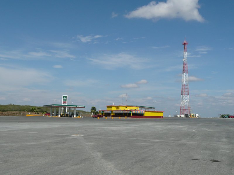
Right: Lunch break at a PEMEX
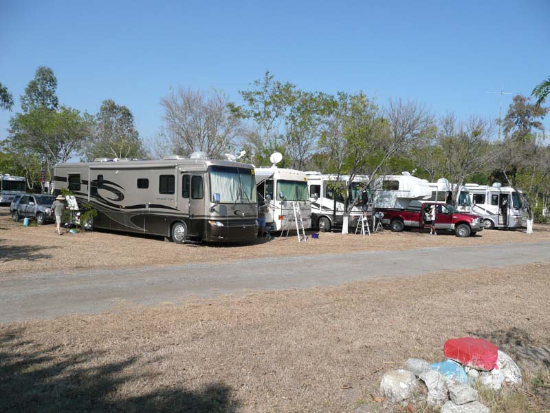
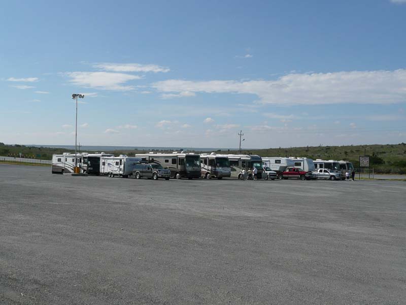
Right: Our resting place for the night in CD Victoria
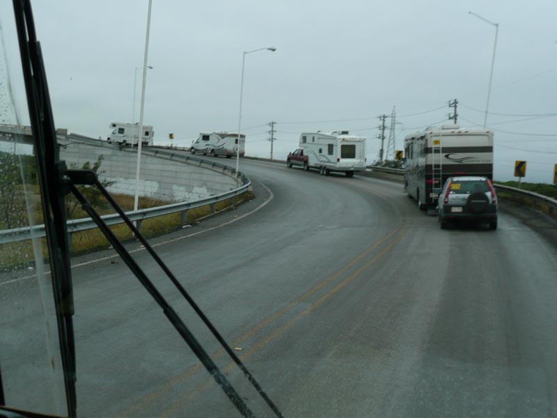
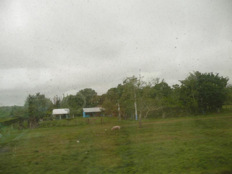
Right: Back on the road in the rain
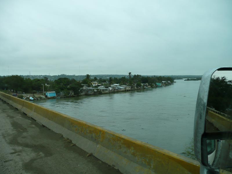
Right: Group of riverside houses
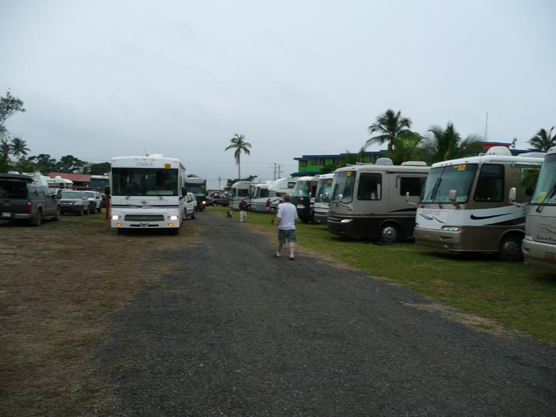
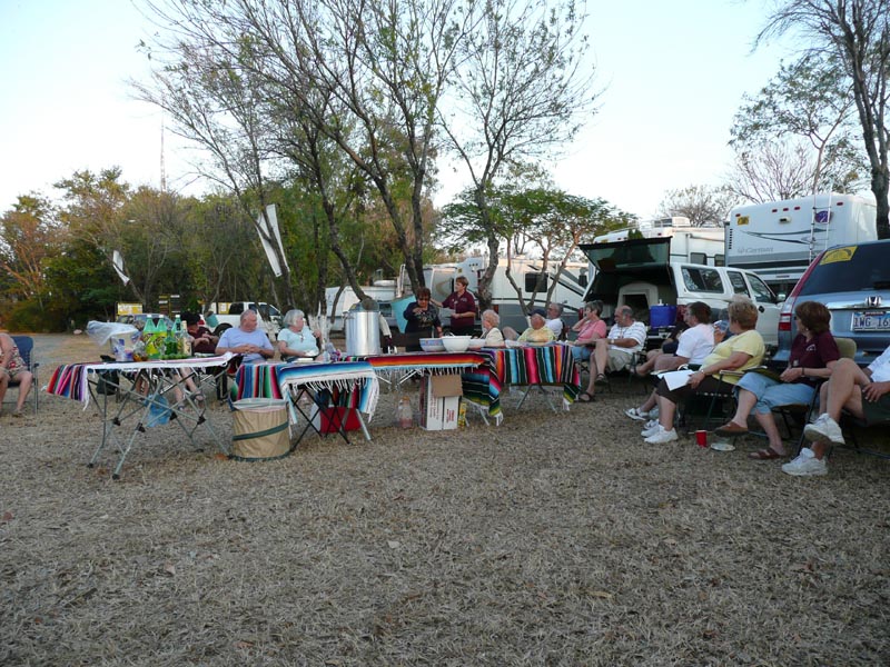
Right: Settling down in Costa Esmeralda with a promise of better weather tomorrow
Our trip down to Costa Esmeralda was pretty ugly. It was raining and the roads were as bad as any we have ever been on, and we have traveled in Alaska and Newfoundland, to mention a few. Oh well, you just slow down! Never the less, it was interesting to see the small villages and how the people lived. All in all, they are great people, enjoying what they have and being very friendly to strangers. Its very different from what you see in the border towns.
EL TAJIN
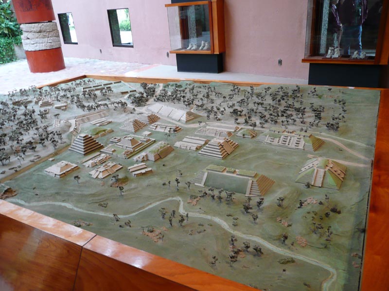
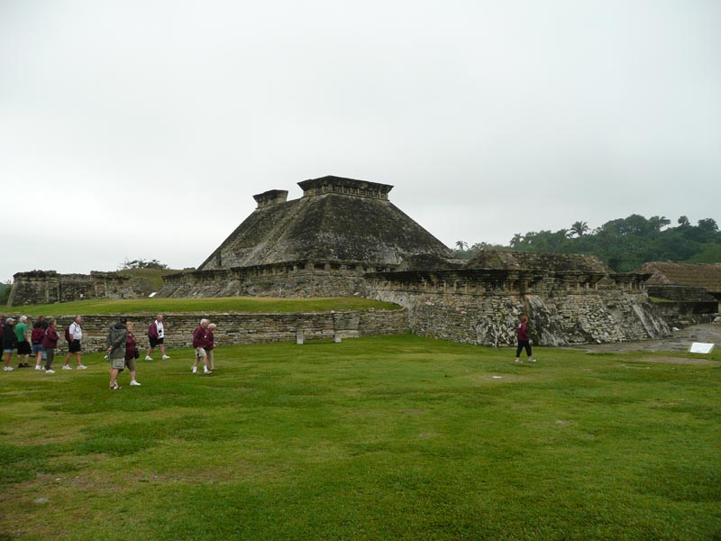
El Tajin (300-1200 AD) is an ancient Teotihuacan/Toltec city near Posa Rica, MX. Taj�n is the Totonac word for "city or place of thunder". Most of the site remains unexcavated, but the parts that are accessible are sufficient to allow you to imagine the extent of the entire city, a model of which is shown to the left.
The population was as high as 25,000, with the highest ranked living on the heights shown to the left/rear portion of the model and the lowest living below the river on the model, and spread out in the suburbs. The power of the rulers came from their knowledge, mostly astronomical, which allowed them to predict the time to plant the crops. When their predictions failed, such as when the droughts came, they would declare that the Gods were upset and a human sacrifice was required.
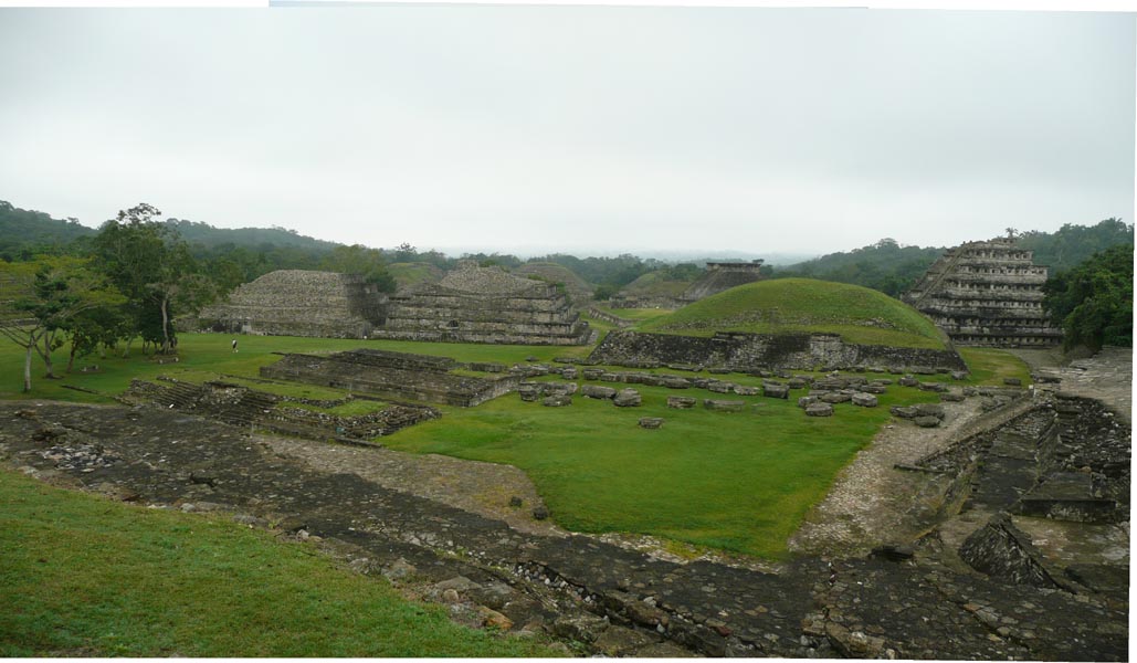
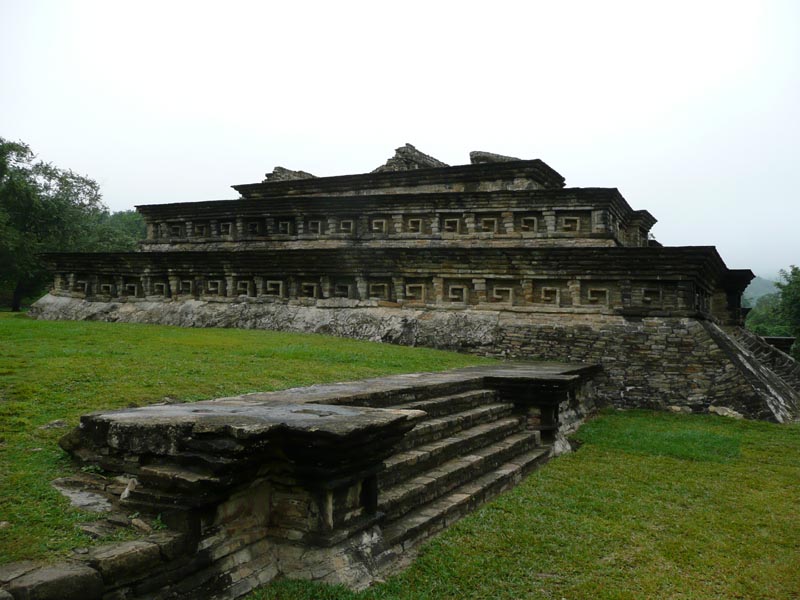
Even though these ruins have not been reconstructed (government policy), it is easy to see the grandeur that the city once was. You can feel it as you walk through and try to imagine it in its glory days. The structures are not hollow but filled with earth and then covered with river rock and then decorated with sandstone. The sandstone was then painted with varying bright colors and designs.
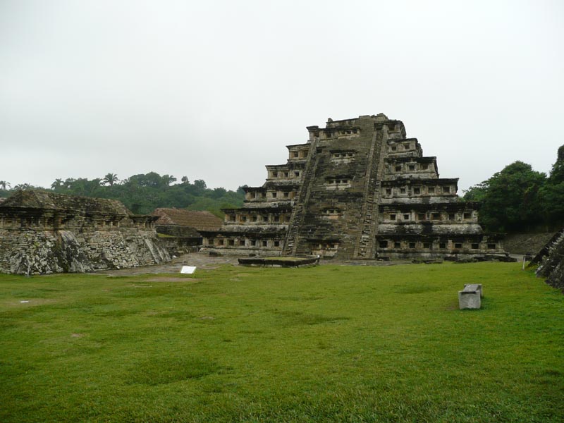
Right: Pyramid of the Niches. There are 6 terraces and 365 of the niches on the 60 foot tall structure.
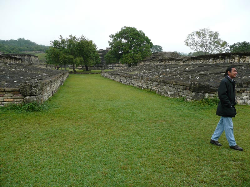
El Tajin has at least 14 ball courts. The game is played in an "I" shaped enclosure with a rubber ball. The sides of the I are sloping so that the ball will return to the court when it is bumped up there.
There are several versions of the rules for the game but the main one seems to be that the players could not kick, throw or head butt the ball. If the ball touched the ground the last team to have touched the ball lost the point. So, it seems that they had to keep the ball in the air or use the sloping sides of the I.
At the end of the game either the winning or losing (opinions vary) captain was sacrificed. After consuming lots of alcohol and drugs, his neck was broken so he would not suffer and then his throat was cut so that his blood would flow to the ground and replenish it.
Right: One of the structures on the high area
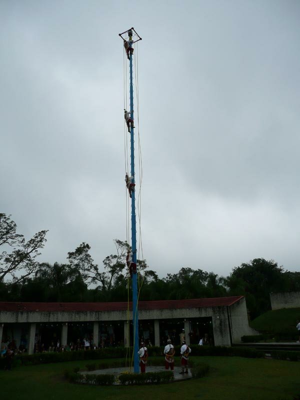
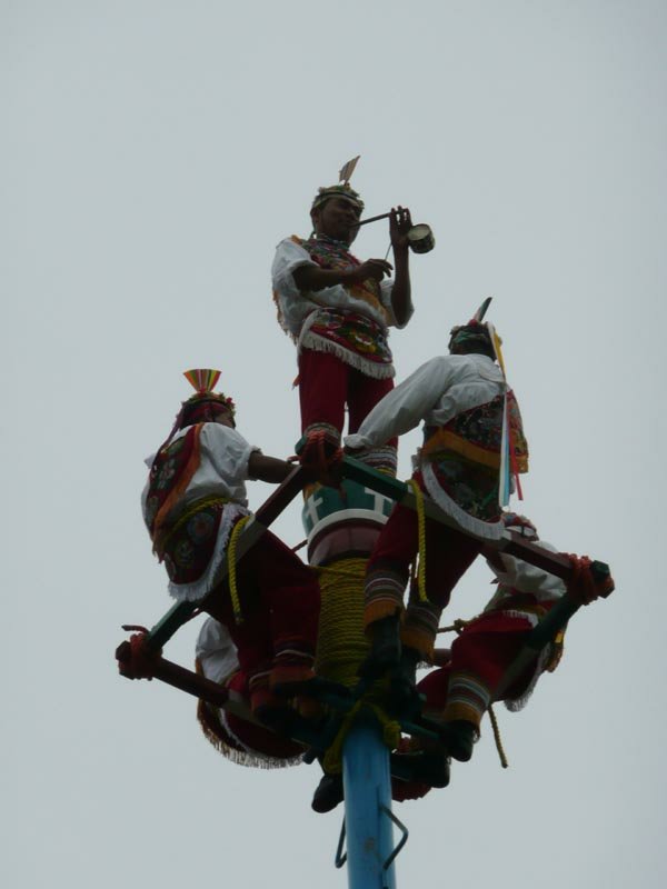
THE PAPANTLA FLYERS
This is a recreation of the original ritual where four men descend from a tall pole by swinging on long ropes that uncoil from a revolving platform at the top.
They first climb the pole and then rotate the platform to coil the rope around the top of the pole. They then tie the rope to their waists. After that a fifth man climbs the pole and stands on its top while playing a flute and beating a small drum. He actually performs a dance by jumping up and down while playing a tune.
The flute player then sits down on the top of the pole and the four Papantla Flyers lean back and cross their legs around the rope so that they dangle head down as they swing around the pole while the rope unwinds and they descend. They make 15 circles before they touch the ground.
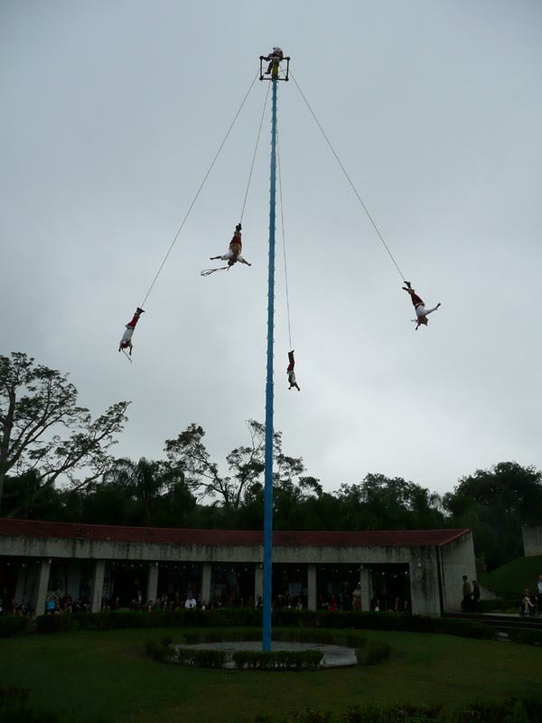
Right: Flyers flying, about half way down. Later the flute player descends one of the Flyer's ropes.
| List | Previous | Next |