WASHINGTON
YAKIMA
We found a nice campground in Yakima to serve as our base as we toured the area.
Originally we thought of some sight seeing that would include Hanford where much
of the nuclear material for the atomic bombs was manufactured. It turns out that
its not open to the public so we concentrated our exploring to the west.
Anne has started hitting the tennis ball again after an eleven year layoff and we
were able to find a nice club that gave us guest status while we were there. A
great way to get some exercise, especially when it is always raining and the club
has indoor courts.
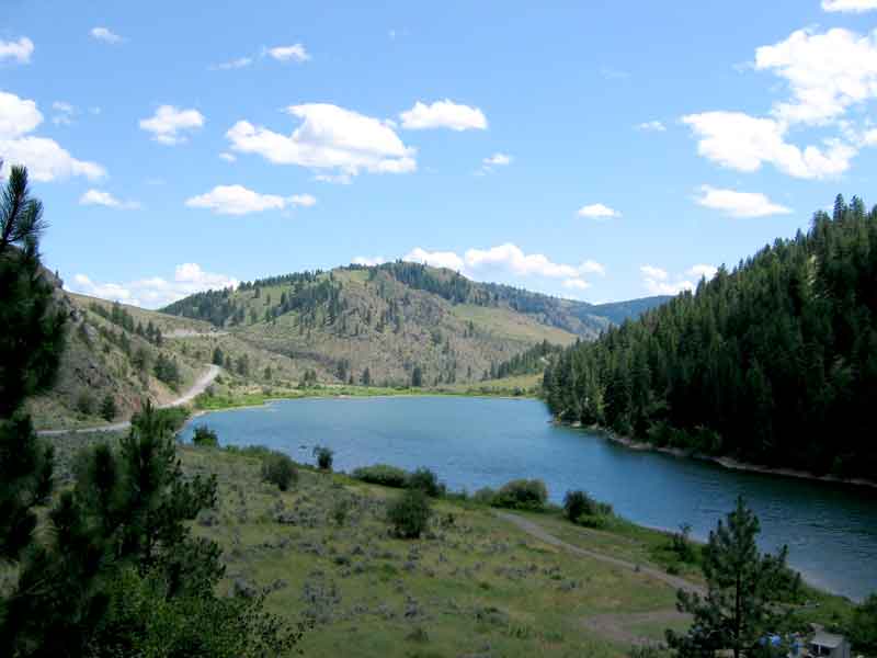
Ted found some nice rivers to do a little fly fishing. He was able to catch a few.
The fish were small, probably due to the heavy fishing pressure from the large number
of fishermen in the area. Had a lot of fun "standing in a river, waving a stick" anyway.
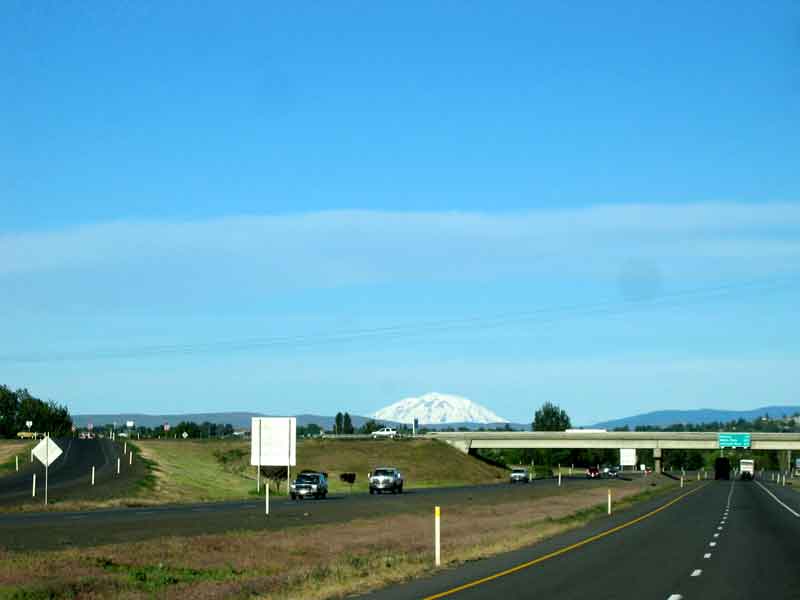
As you can see from the picture on the right, Mt Rainier is a very large mountain
that can be seen every clear day from Yakima which is 60 miles away.
Mt RAINIER
Mt Rainier is a 14,410 foot active volcano in the Cascade Range in west central
Washington. It last erupted about 150 years ago.
The day we were there it was cloudy and raining at the Paradise Visitor Center and
we could not see the mountain. The exhibits are very informative about the characteristics
and history of the volcano's activity and its effects on the surroundings.
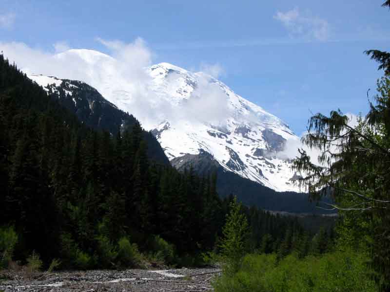
We moved on the the Sunrise area and got some partial views of the mountain as
shown in this picture.
Mt St HELENS
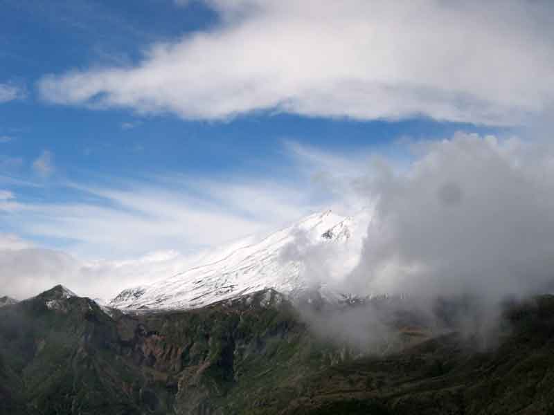
As you can see from this picture, the rain and clouds have not left us, so this
is the best view of the mountain that we got.
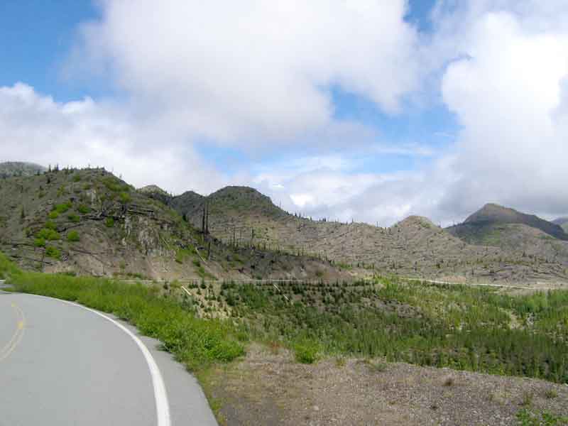
This mountain literally blew its top in 1980, devastating the area north of
it. As we drove up from Randle to the Windy Ridge view point we went from a lush
rain forest to an area where all the trees were blown down, laying in an orientation
that shows the direction of flow of the hot, stone and ash filled, lateral blast from the
eruption. Even today, 25 years later, the forest has not returned. There are small
trees and bushes, but it will take many more years to reforest this land. I guess
that the ash is making it difficult for the trees to get started again.
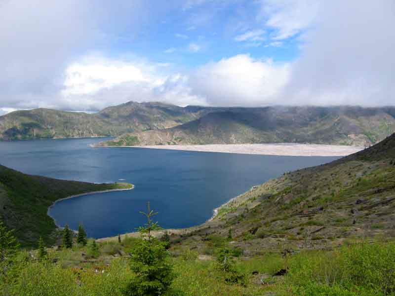
You pass by Spirit Lake as you climb to Windy Ridge and you see this humongaus mat
of floating logs. They are still here as you can see in the picture below. The
debris from the blast created a large dam that blocked the drainage of this lake
and it was feared that the water buildup from the snow melt would break the dam
and flood down stream communities. A large tunnel was drilled to provide a drainage
for the lake which was permanently blocked and had risen 200 feet.
If you have the chance to see this, it is well worth the trip. It is an awesome
example of what the normal workings of Mother Nature can do.
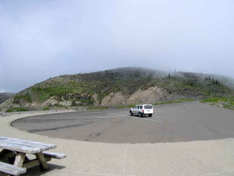
Left: Windy Ridge view point. The clouds make it look like smoke.
Right: Spirit Lake and the south end of the immense mat of floating logs
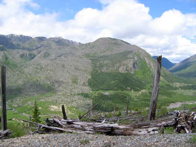
Left: Logs are oriented to show the flow pattern taken by the blast debris.
Right: This shows how the blast was deflected by the terrain, leaving some areas untouched.
SEQUIM
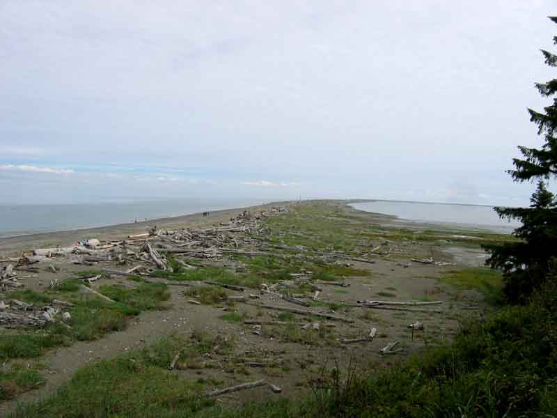
Sequim (pronounced S'Kwim) is a small town on the Strait of Juan de Fuca just
east of Port Angeles. The Dungeness Spit seen here is the longest in the USA.
It is six miles long and is a wildlife preserve. You can walk all the way to its
end and visit the lighthouse there if you feel up to it. We didn't.
This is a good base for exploring the Olympic Peninsula. It is supposed to be
relatively rain free, getting an average of 17" a year, but they must have got
their allotment while we were there, as it rained at least once every day during
our stay. Regardless of the rain, it was fun to explore the Olympic NP, Cape Flattery
and Victoria across the strait in BC.
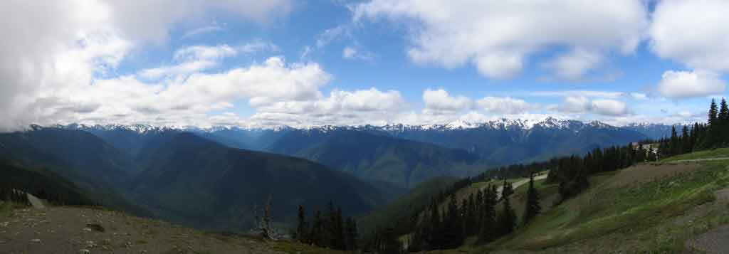
If you drive up to Hurricane Ridge you can see the Olympics spread out before you.

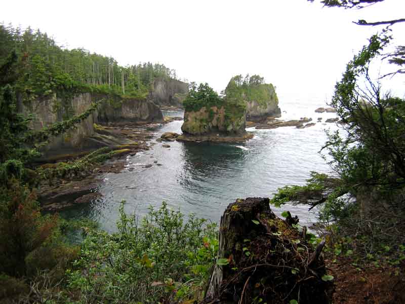
Left: Path through the rain forest on the way to the lookout at Cape Flattery.
Right: Cape Flattery lookout.
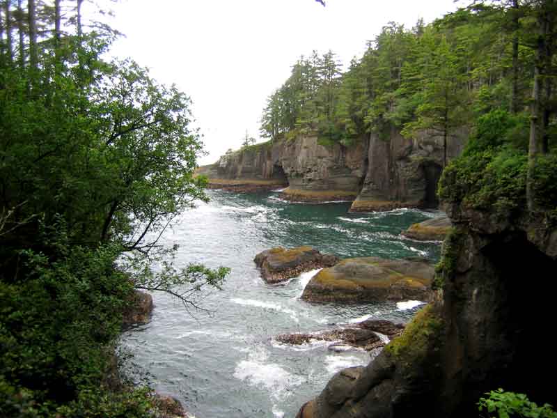
Left: Cape FLattery lookout.
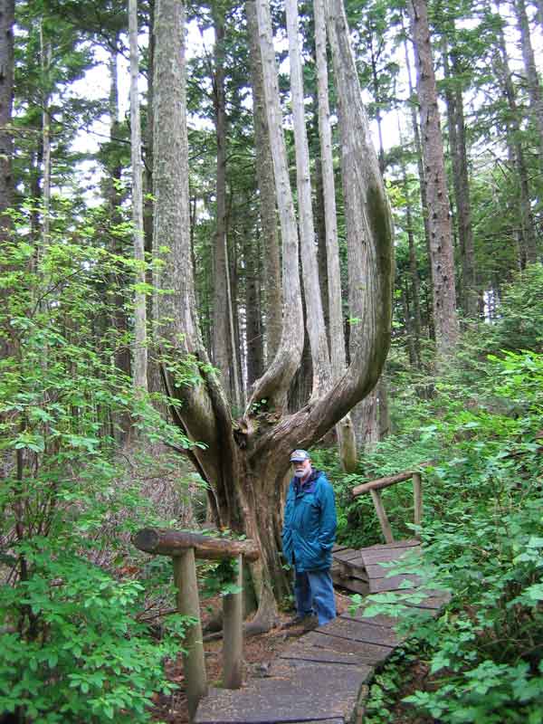
Right: This is the way some of the trees here grow.
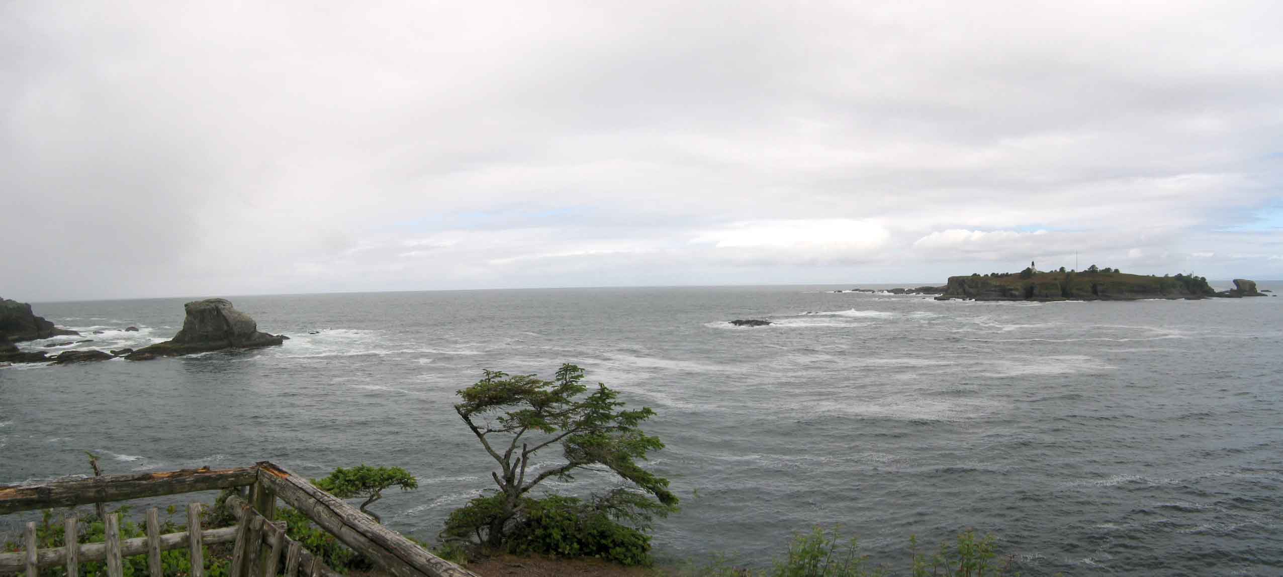
Cape Flattery Lighthouse, the most western point in the contiguous US.
VICTORIA, BC
We finally got a beautiful day without rain when we visited Victoria, BC. We took
a tour that picked us up and dropped us back at our campground in Sequim. The ferry
ride over was very early, we got picked up at 6:45am and had a nice smooth sea for
our ride across the Strait of Juan de Fuca. Taking our passports made the border
checks routine and it also helped that the passenger list for the bus tour had been
sent ahead the night before.
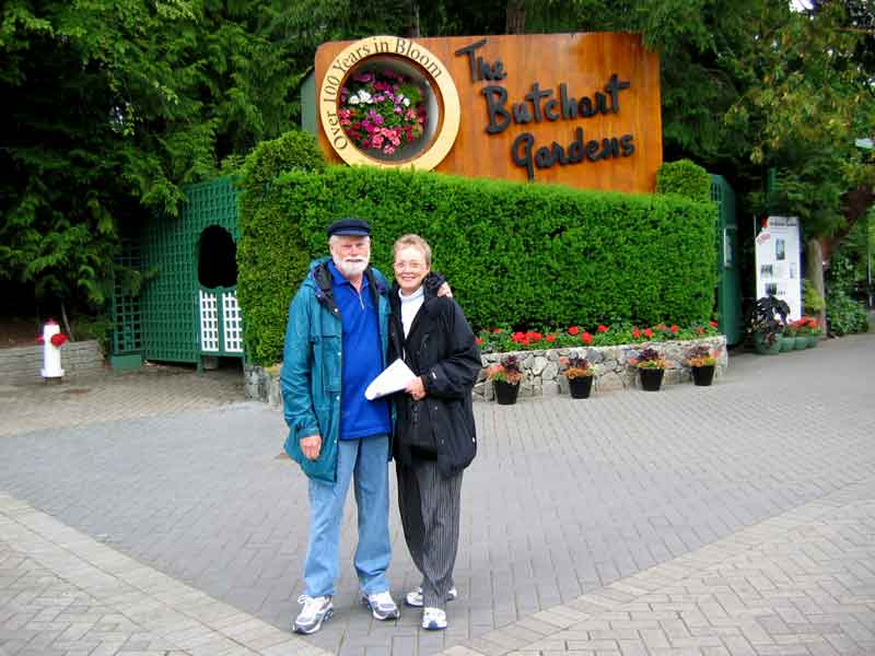
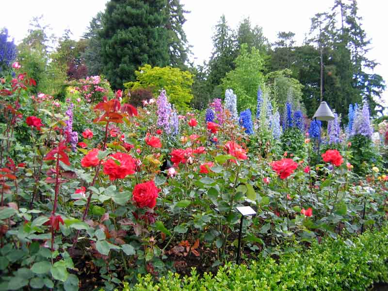
Our first stop was the Butchart Gardens. These gardens were created out of a lime
pit by Jennie Butchart, the wife of Robert P. Butchart, who had mined the lime and was now left with
the pits. This was over a hundred years ago and the gardens are even more beautiful
now than they were when they were originally created. A must see if you are in
the area.
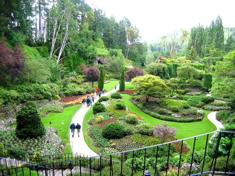
The Sunken Gardens
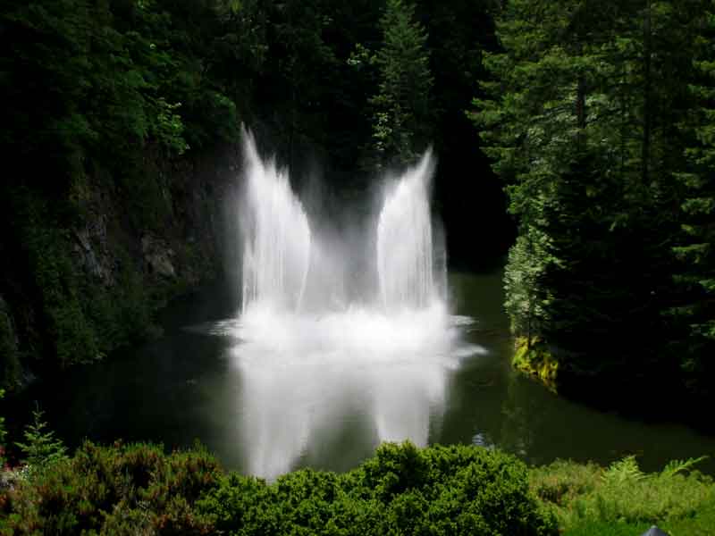
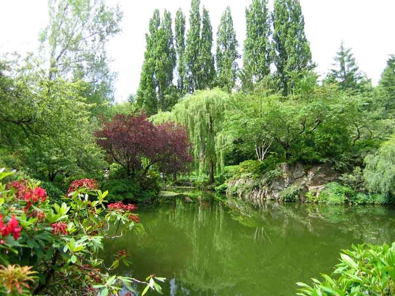
Left: Ian Ross, the grandson, and his wife Ann, restored the gardens and he designed and built this fountain.
Right: The Rose Garden
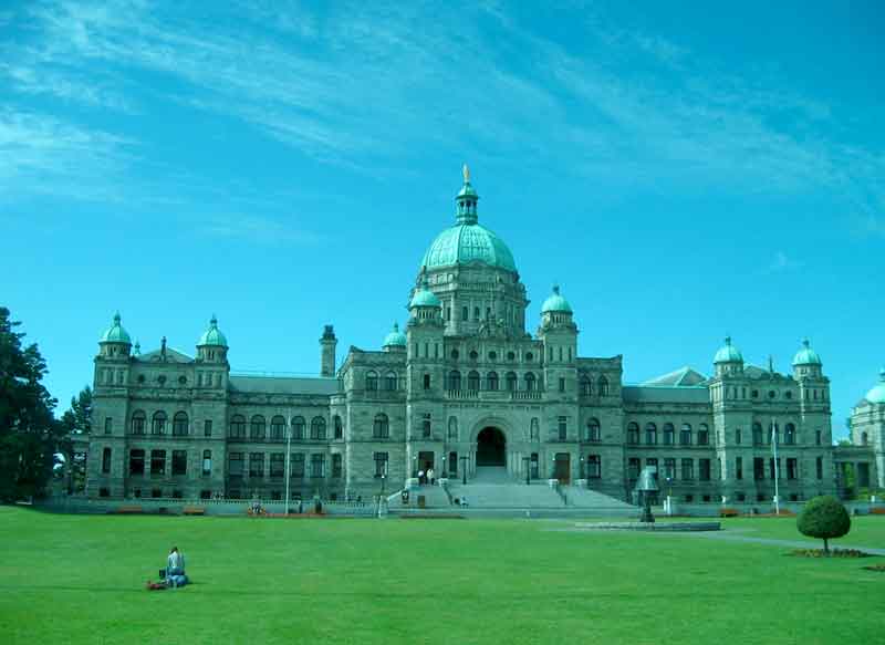
Left: Parliament building in downtown Victoria.
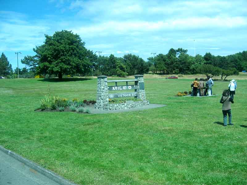
Right: Mile '0' of the TCH (Trans Canada Highway) that runs all the way to Newfoundland.
ANACORTES and the SAN JUANS
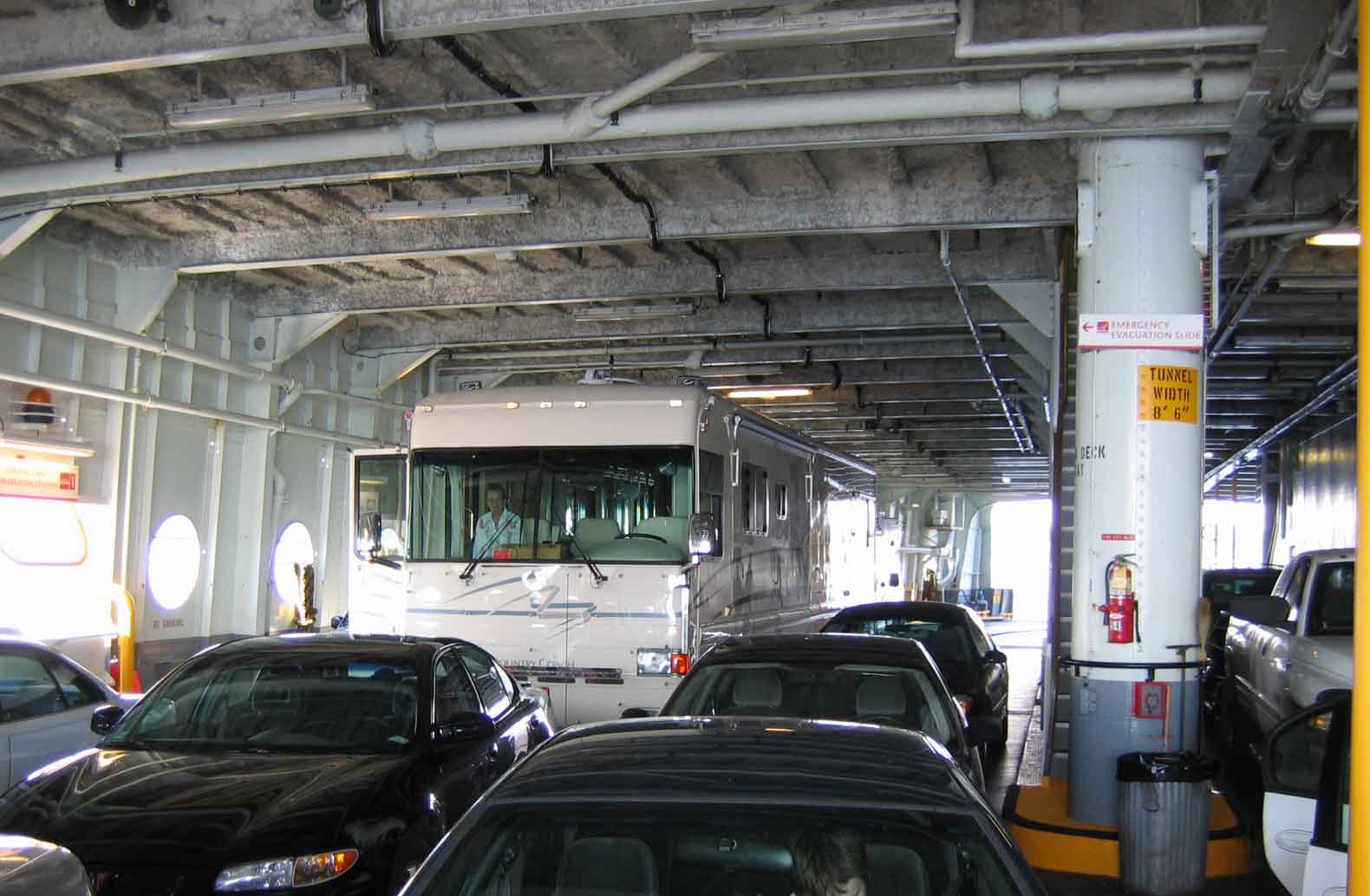
We did the math and figured it was cheaper to take the ferry from Port Townsend to
Whidbey Island on our drive to Anacortes. The alternative was a five hour, 250 mile
drive through Seattle. The ferry system works really well and is not a problem with
our 40' rig.
Anne found us a really great campground with a site on the water of Fidalgo Bay. This
is our base camp for exploring the San Juan Islands via the ferry system. On a clear
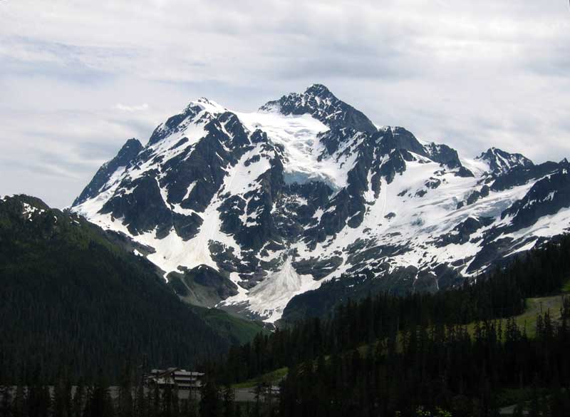
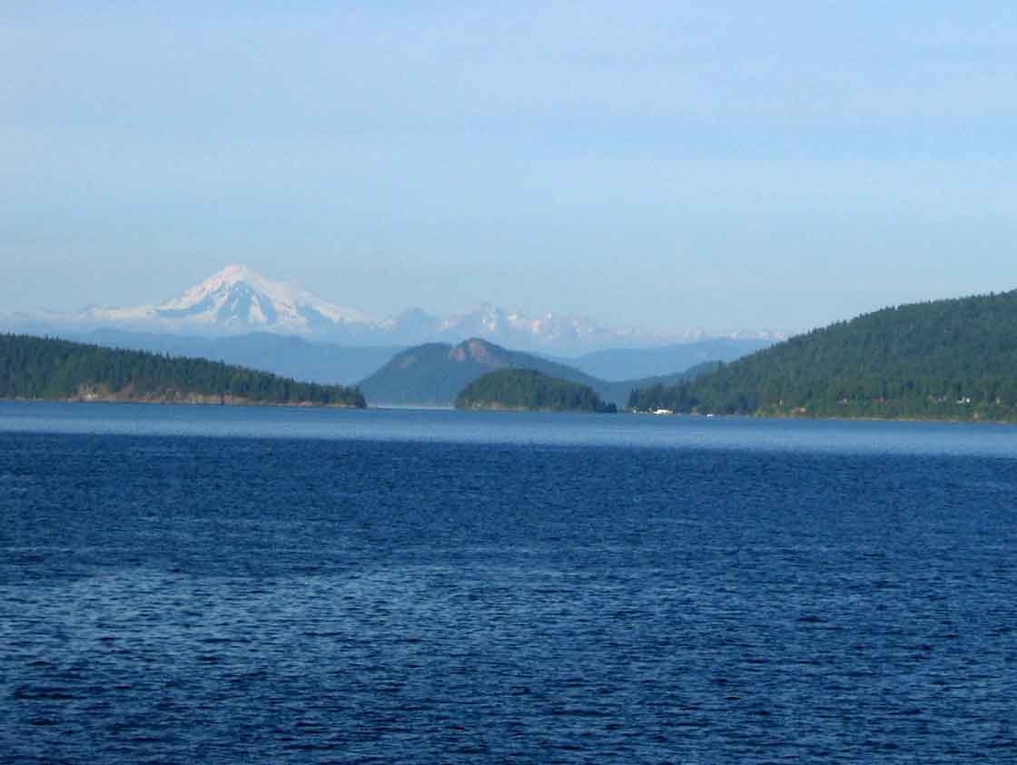
day we can see Mt. Baker, so we decided to drive up there and see it closer.
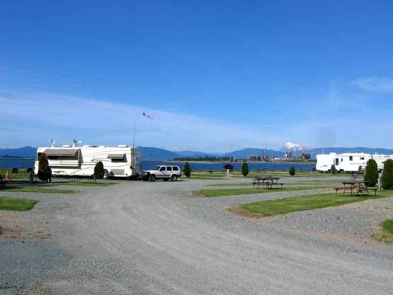
Left: We have a great site at Fidalgo Bay Resort, near Anacortes. That's Mt Baker
in the background.
Right: Mt Baker from the ski area near it. You can see several of its glaciers.
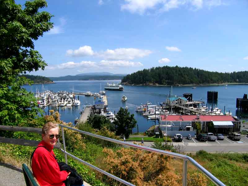
Friday Harbor: This is the center of activity for the San Juan Islands. We took
the ferry as walk on passengers and had breakfast as we explored the town.
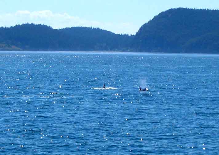
Left: We saw a pod of Orcas as they were feeding, on our whale watching trip. They
were spread out and we never got really close, but it was a worthwhile trip.
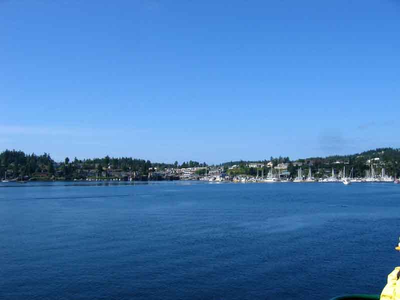
Right: It is still very light at 8pm as we return to Anacortes, with Mt. Baker in the background.

OROVILLE
Oroville is located just four miles south of the Canadian border on Osoyoos lake.
We got a very nice campsite at the Oro Beach RV Resort that served as our base for
exploring the Okanogan area nearby. This valley extends up into Canada and its
name is spelled Okanagan there. None of the several people that we asked about
this could tell us why, just that it was an indian name and that there are many
different spellings.
We had two nights of fabulous fireworks to watch while we were there. July 1st
for the Canadian folks across the lake in Osoyoos, and the 4th for us Yanks. Both
displays were watched from the beach at our campground.
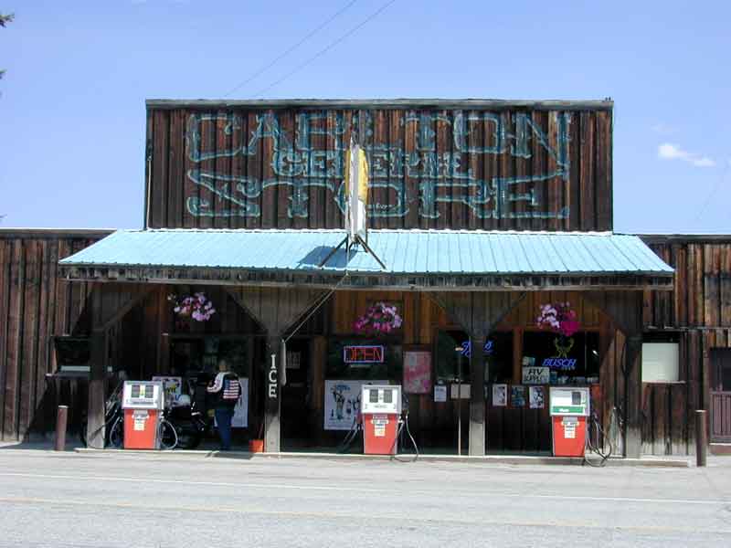
Left: The Carlton General Store, fly fishing HQ for the Methow river.
Right: A beautiful drive through the Sinlahekin area west of Oroville.
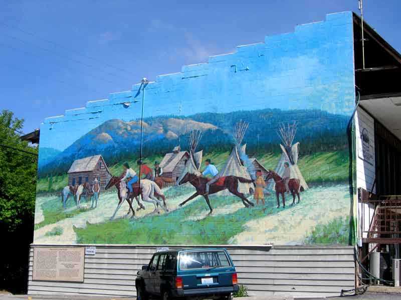
Left: Republic, a town on the Highland Historic Loop Drive, has a "walk
through time" depicted by a series of murals. It also has some digs where you can
dig up some Eocene Fossils
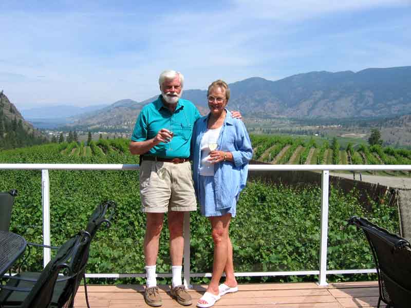
Right: Here we are having a great lunch at the Hawthorne Mt. Winery, our favorite
for the Okanagan area of BC.