List Previous Next


IDAHO


Ellicott Lewis

SALMON

Sextants to Satellites
on the
Lewis & Clark Trail


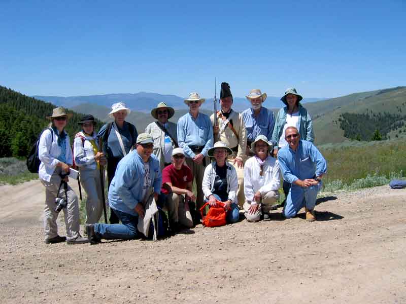
Anne discovered a Forest Service (FS) "Heritage Expedition" project that presented the Lewis & Clark Corps of Discovery expedition in a new point of view. It is presented by the FS in Salmon and is called Sextants to Satellites. It was a five day presentation that included both classroom and field trip demonstrations of what the expedition had to do to find their way over unknow routes and then to document their path for the others who would follow. The class is small, limited to twelve participants, which means that every one gets to do all the stuff.

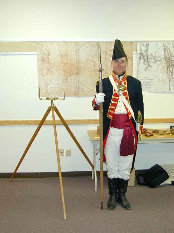
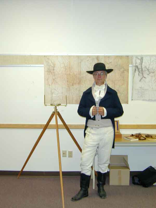
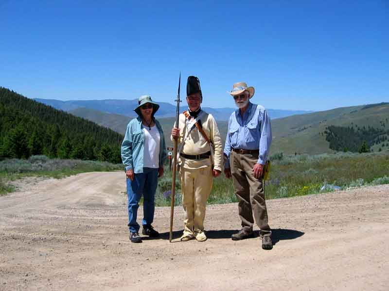
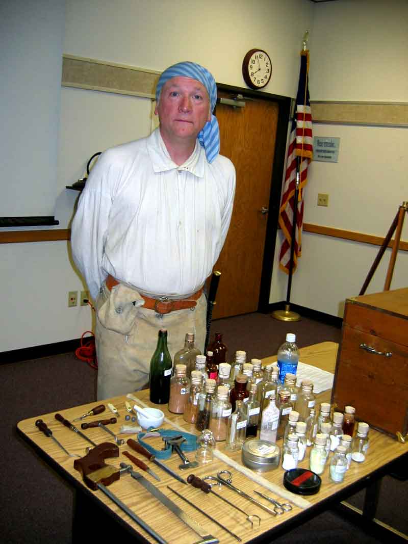
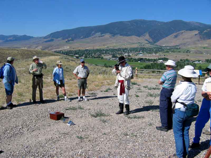
Our instructor and the creator of the expedition was Steve Matz, Forest Archeologist for the Salmon-Challis NF. He is seen here, on the left, dressed as Andrew Ellicott, Lewis's celestial navigation instructor, and on the right as Meriwether Lewis. He often dressed in period attire and it helped put us in a frame of mind to better understand that of the participants of the L&C expedition.

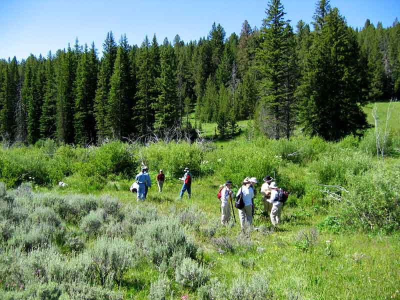
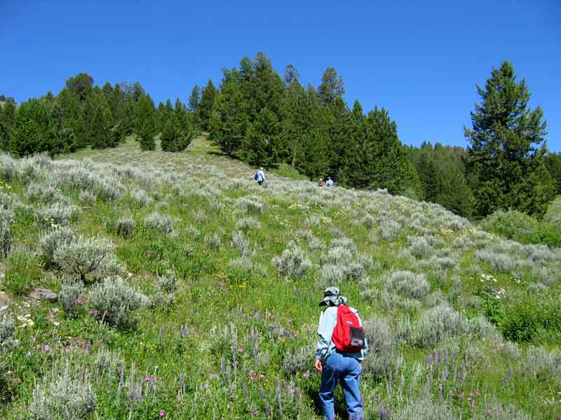
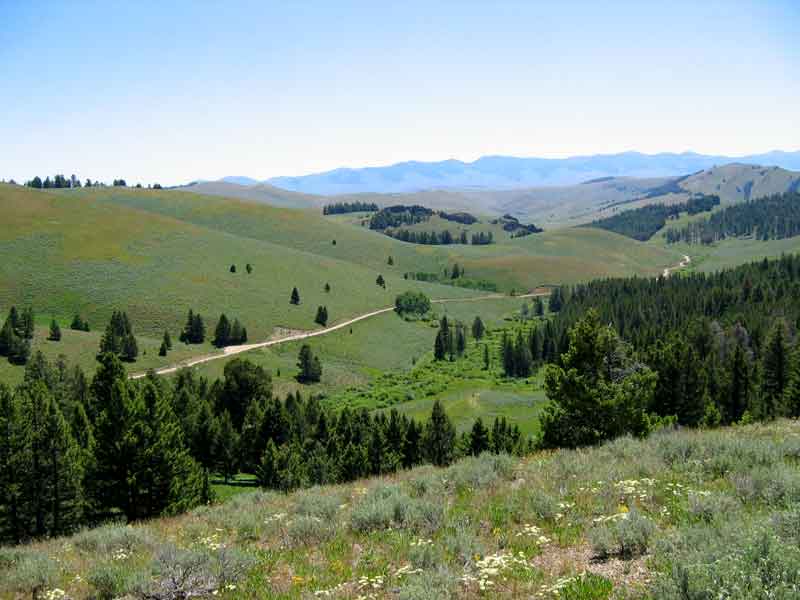
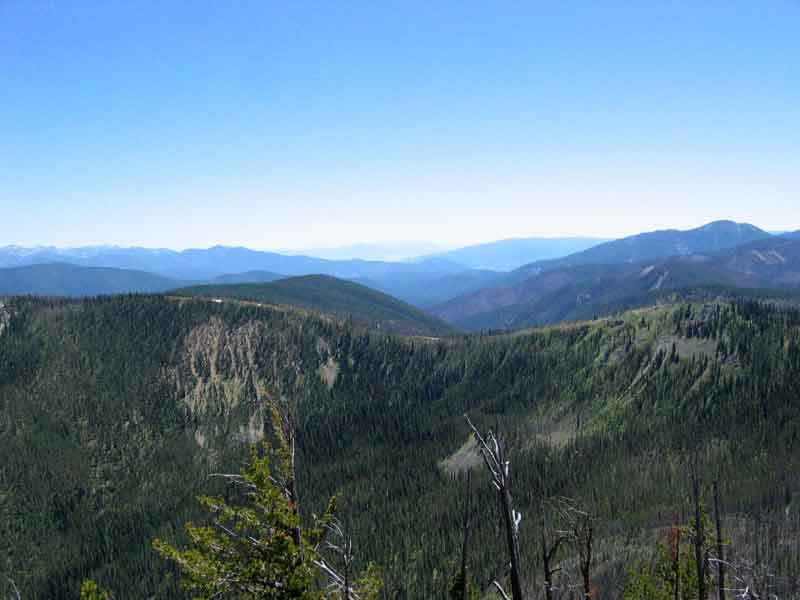
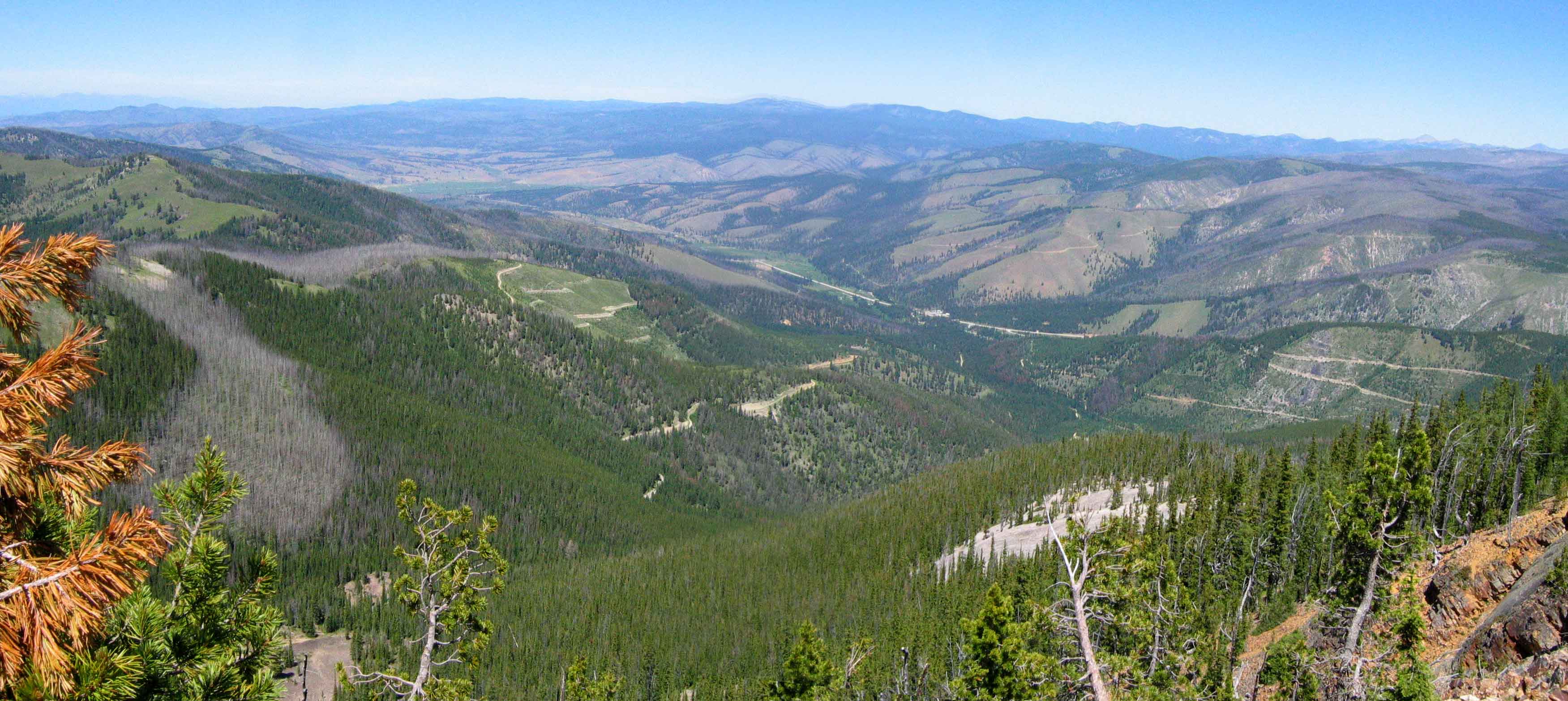
Many of the navigation techniques that L&C used were presented and the participants then went out into the field on what is believed to be the actual route of the trail at Lemhi Pass near Salmon, ID. We took the same type of instruments that L&C used and also modern GPS instruments that can capture the routes that we walked for later analysis. Our instructor also provided us with the maps and route descriptions that were created by L&C at the time they followed the route. We were to find the route based on these descriptions and modern topo maps that we used to get a feel for the lay of the land.

We were dropped off near one of the locations described that would be the starting point for our exercise. After finding the location we were to follow the route using the materials provided which included a replica of the same compass that L&C used. We also had a GPS unit to record the route we took so we could compare our route to the one commonly believed to have been taken by L&C.

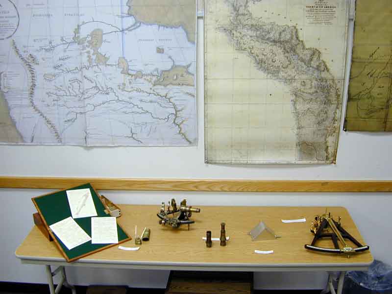
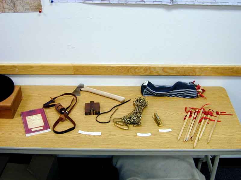
During other sessions, we learned to use a sextant and octant using the method that Lewis was trained to use. We also used a bearing compass, like the one in the pictures above, and a chain to measure and document a route in the manner that L&C used to preserve the routes that they used during their portages.

If you have any interest in the L&C expedition and are curious how they managed many of the navigational difficulties that they had to face, then you would really enjoy these presentations and exercises.

Navigational insturments Bearing compass and chain

Left: A portable writing desk, a sextant and artificial horizon, and an octant. All of the vintage of those used by L&C.
Right:A hand bearing compass (closed) and chain and stakes used to document a route.

Looking for Most Distant Fountain Springs Up the route to Lemhi Pass

Left: Looking for the start of our route, the Most Distant Fountain Springs.
Right: Heading up the route to Lemhi Pass. Clark described it as 1/2 mile of gentle slope.

Looking from Lemhi Pass to the Most Distant Fountain Springs Steve in his Skins

Left: Looking back down to the Most Distant Fountain Springs and the route L&C followed.
Right: On Lemhi Pass with our instructor, Steve, in his "skins".

The whole class Dinner at the Sacagawea Center

Left: The whole class
Right: Dinner at the Sacagawea Center after the days exercise on Lemhi Pass.

Medical supplies for the Corps Learning to use the sextant

Left: Medical supplies for the Corps cost Lewis all of $90.69. Lewis was well trained in the medical
practices of the day with instruction from Dr. Benjamin Rush here portrayed by Mike Crosby.
Right: Learning to use the sextant on a bluff overlooking the town of Salmon.

Cow moose and her calf Hoodoos along Tower Creek

Left: Cow moose and her calf. A rare sight even for the locals.
Right: Hoodoos along Tower Creek.

Bear grass Resting on a slope of wild flowers

Left: A rather large patch of Bear Grass in a burned out area on our way up Saddle Mountain near Lost Trails Pass.
Right: At nearly 8000 feet there were large slopes of all kinds of wild flowers.

Route from the south to Lost Trails Pass Looking north into the Bitterroot Valley from Saddle Mountain

Left: The route from the south to Lost Trails Pass. L&C took this very difficult path instead of an indian road. The other side of the closest ridge is the Lost Trails ski area.
Right: Looking north into the Bitterroot Valley from Saddle Mountain. Lost Trails pass is out of the picture to the right.


Downtown McCall Payette Lake

Mc CALL


McCall is a resort town in western Idaho. It is situated on Payette Lake and is a major center for water sports and fishing. It is a fun town that even has an ice skating rink. We ended up here because we were in the area and had heard about a new high-end RV Park that sounded really interesting. As it turned out, the part of the park that we were to stay in was still under construction when we got there, as the city had been late in getting the sewer connections installed. We were to stay in a campsite on the river, but they put us in a very nice site up the hill from the lodge.

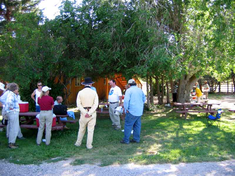
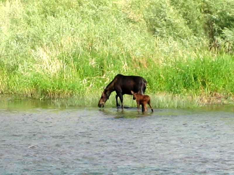
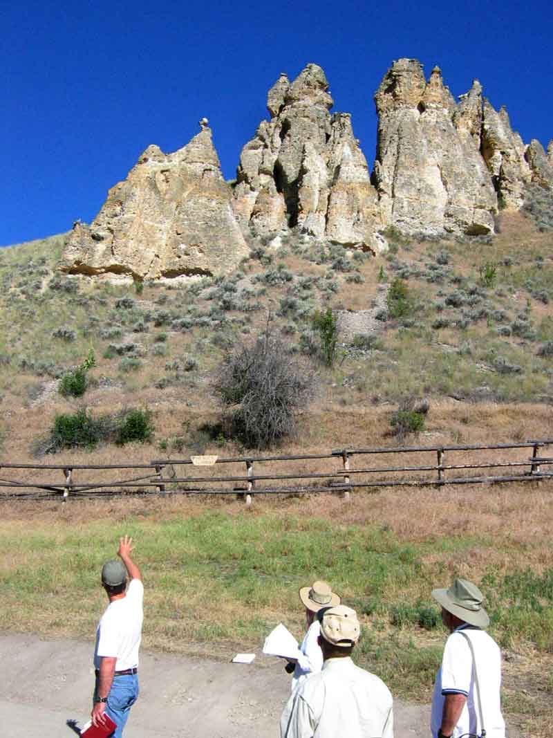
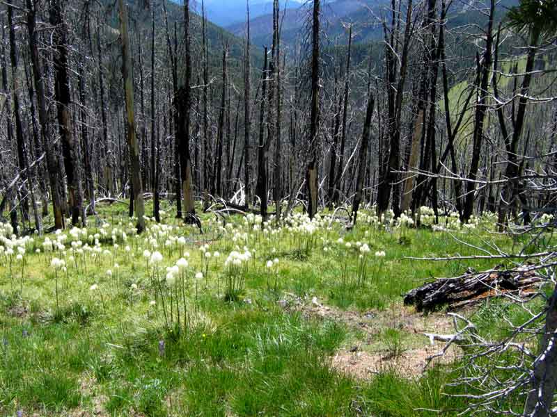
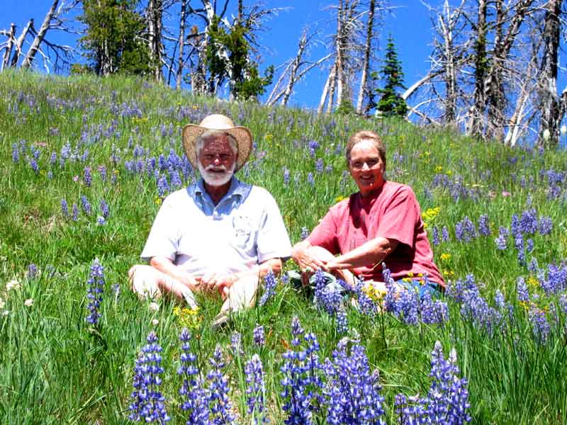
We toured the area and Ted even had some good fly fishing in the Little Salmon river about an hours drive from McCall.

Roseberry Museum Roseberry General Store

Left: Roseberry was the main town and market place, but the railroad came through Donnely instead.
Right: The General Store is still operated, mostly as a tourist attraction and museum.

Inside the Roseberry General Store

This area in the General Store was a place where locals would gather for conversation.


List Previous Next